

Fieldschool 2006
In April of 2006 we ran a week long fieldschool for our second year students. The fieldschool focused on teaching the basic skills necessary to produce a geological map and took place in the Thunder Bay area. Later in the year we ran a second two week fieldschool for students entering their final year. Those photos can be viewed towards the bottom of the page.
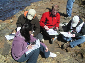 |
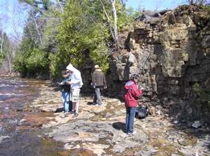
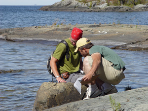
Connie Ha, Marc Rinne, Avery Henderson and Liz Cook examining an outcrop of Gunflint shale near Boulevard Lake |
 |
Matt Husslage, Nathan Forsland and Dan Ferraro mapping the Gunflint shale near Boulevard Lake
|
 |
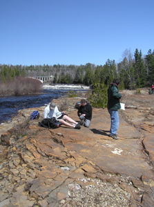
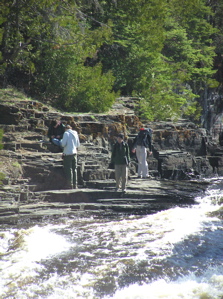
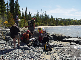
Mapping along the shores of the Current River |
 |
Mapping along the shores of the Current River
|
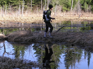 |
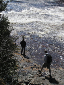
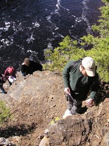
Kurt Kenny making his way through the bush to the next outcrop |
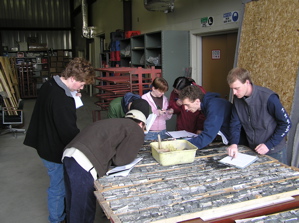 |
Logging drill core in the MNDM core shack in Thunder Bay |
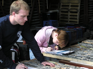 |
Avery Henderson and Liz Cook logging drill core |
 |
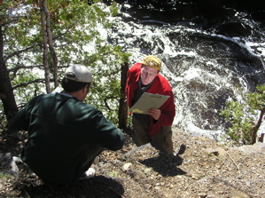
Marc Rinne mapping along the banks of the Current River in Centennial Park |
 k k |
Mapping along the banks of the Current River in Centennial Par |
 |
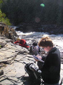
Marc Rinne and Avery Henderson mapping along the banks of the Current River in Centennial Park |
 |
John Keigher mapping along the banks of the Current River in Centennial Park
|
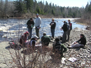 |
Lunch along the banks of the Current River
|
September 2006
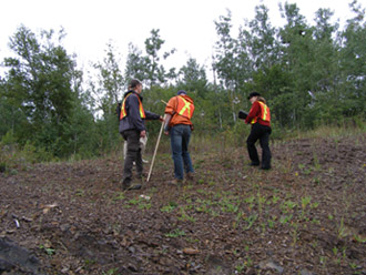
The following photos are from our fieldschool for the senior under graduates. This year the students visited number of places including PGE mineralisation near Marathon and a mapping exercise in the Beardmore-Geraldton area.
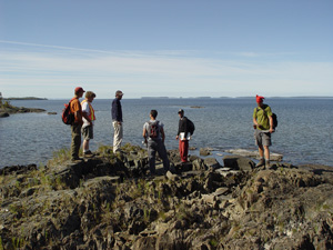 |
Admiring the view near Beardmore
|
 |
Marc Rinne enjoying the weather and examining the outcrop near Beardmore
|
 |
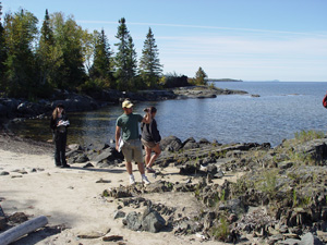
Examining the outcrop near Beardmore
|
 |
Examining the outcrop near Beardmore
|
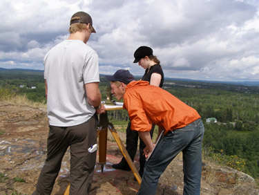 |
Surveying the outcrop with an alidade |
 |
Using the Jacob's Staff to survey the outcrop
|